Live view desk
Boise Area Webcams
A curated map of scenic, airport, and mountain webcams around Boise, the Treasure Valley, and nearby Idaho recreation corridors.
Live webcam map
15 pinned
Camera frames are loaded from the original source providers. Availability and refresh timing are controlled by each camera owner.
These webcams are for general live views only. They are not a substitute for official aviation, emergency, road, weather, or recreation safety information.
Mountain
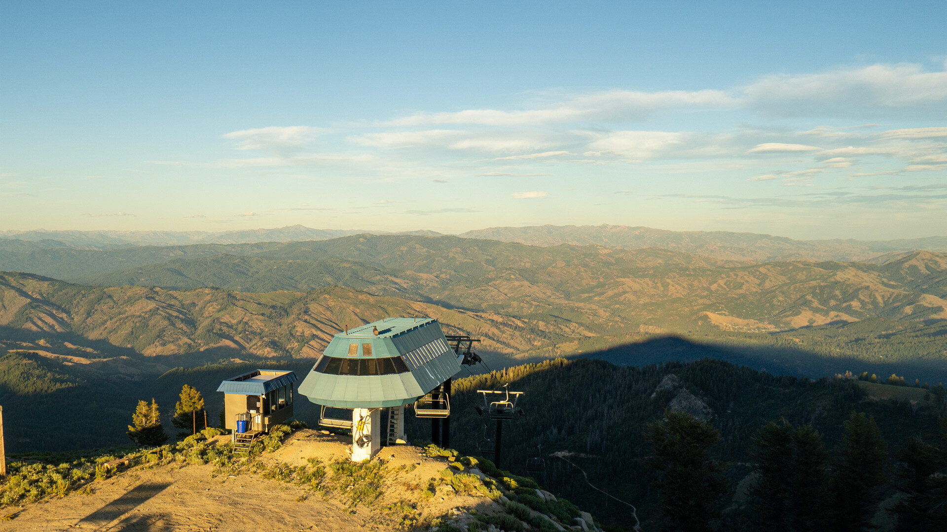
Bogus Basin
Live mountain views from Bogus Basin above Boise.
Airport
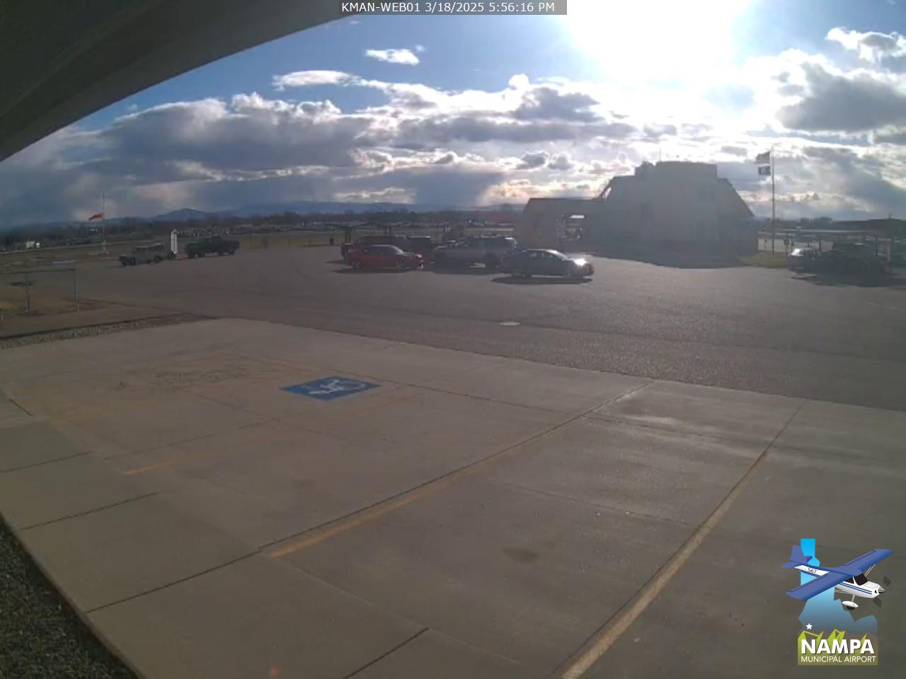
Nampa Municipal Airport
Two airport views from Nampa, including a foothills-facing frame.
Airport
Caldwell Industrial Airport
Airport views looking northwest and east from Caldwell.
Airport
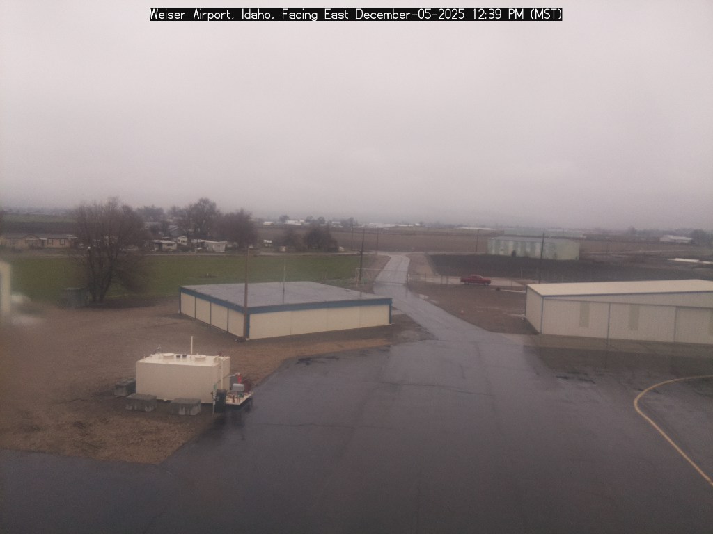
Weiser Airport
Airport views looking east and southwest from Weiser.

Airport
Payette Airport
A Payette airport view looking east.

Regional
McCall Airport
A regional mountain-town airport view from McCall.
Regional
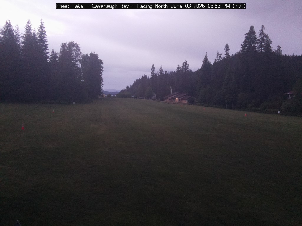
Cavanaugh Bay Airstrip
North Idaho airstrip views from Cavanaugh Bay near Priest Lake.
Mountain
Silver Mountain
Mountain and resort views from Silver Mountain above Kellogg.
Airport
Grangeville Airport
Prairie and airport views from Grangeville in north-central Idaho.
Regional
Orofino Airport
Clearwater country views from Orofino Airport.
Airport
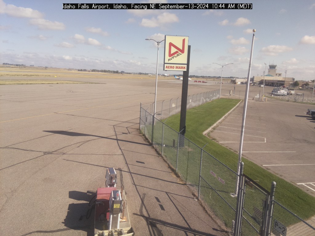
Idaho Falls Regional Airport
Eastern Idaho airport views from Idaho Falls.
Regional
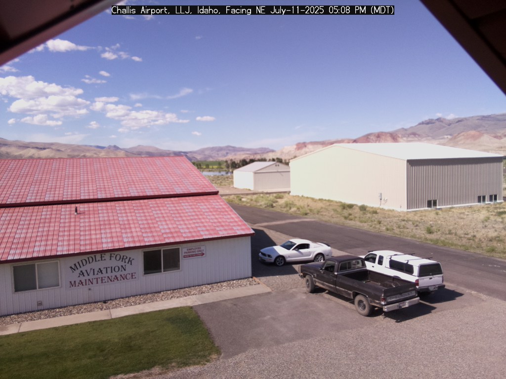
Challis Airport
Central Idaho mountain-valley views from Challis.

Mountain
Stanley Sawtooth Camera
A prominent Sawtooth Range view from Stanley.
Regional
Council Airport
North and south views from Council Airport.
Regional
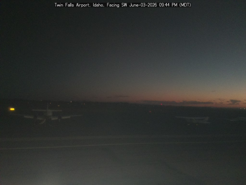
Twin Falls Airport
Regional airport views looking southwest and southeast from Twin Falls.